
The Role of 5G in Transforming US Agriculture: Connectivity and Real-Time Data
5G technology is revolutionizing agricultural practices in the US by enabling real-time data collection and enhanced connectivity, resulting in improved efficiency, precision, and sustainability for…
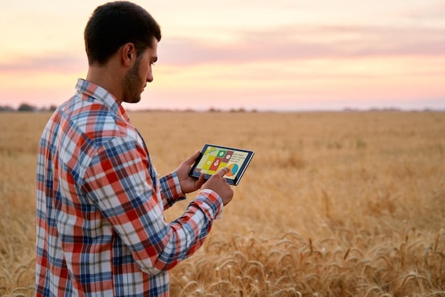
Blockchain in Agriculture: Improving Food Traceability and Transparency
Blockchain technology in agriculture enhances traceability and transparency throughout the food supply chain, providing consumers with verifiable information on product origin, quality, and safety. The…

Smart Greenhouses: IoT for Energy Efficiency & Crop Production
Smart greenhouses leverage IoT technology to optimize energy consumption and environmental conditions, leading to enhanced crop yields and sustainable agricultural practices. Smart Greenhouses: Maximizing Energy…

Robotics in Agriculture: Autonomous Tractors Revolutionize Farming
Robotics in agriculture, particularly the use of autonomous tractors, is revolutionizing planting and harvesting processes by increasing efficiency, reducing labor costs, and improving crop yields…
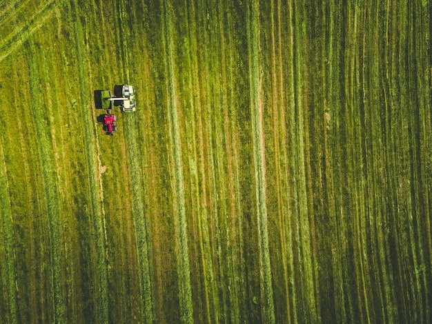
AI Soil Analysis: Boost Crop Yields by 15% in 2025
AI-powered soil analysis offers precision insights into soil health, enabling farmers to optimize nutrient management, reduce waste, and potentially increase crop yields by 15% by…
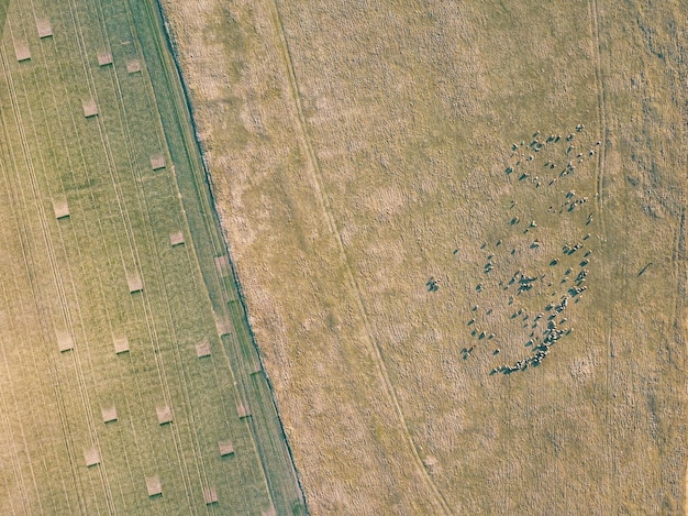
Drone Crop Monitoring: Early Stress Detection for Better Yields
Drone-based crop monitoring revolutionizes agriculture by enabling farmers to identify and address plant stress up to three weeks earlier than traditional methods, using aerial imagery…